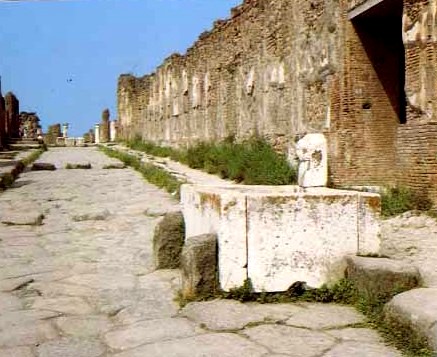
This picture is from Pompeii. It shows an actual Roman street very similar to the way it would have looked during the Roman era.
Santini, Loretta. Pompeii and the Villa of the Mysteries. Narni, Italia: Casa Editrice Plurigraf, 2000.
Roads
Typical roman cities had two main boulevards: one which went north-south, and another which went east-west. At the crossroad of these two streets was always located the forum. Archaeologists know how the city layout was constructed because they have often found remains of sewers, which were always built directly under the streets.
At all pedestrian crossings on the streets were placed stepping-stones so that if it rained, the people would not get muddy.
Roads were also used as inter-city message and transport routes. Some cities were at the crossroads of several inter-city roads. This made them economically important. Others were just the end of the line in barbaric lands.
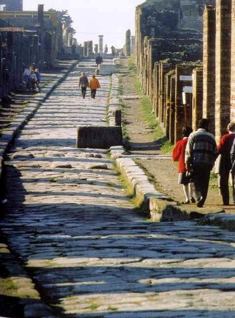
This picture is also taken from Pompeii, showing another Roman street.
Santini, Loretta. Pompeii and the Villa of the Mysteries. Narni, Italia: Casa Editrice Plurigraf, 2000.